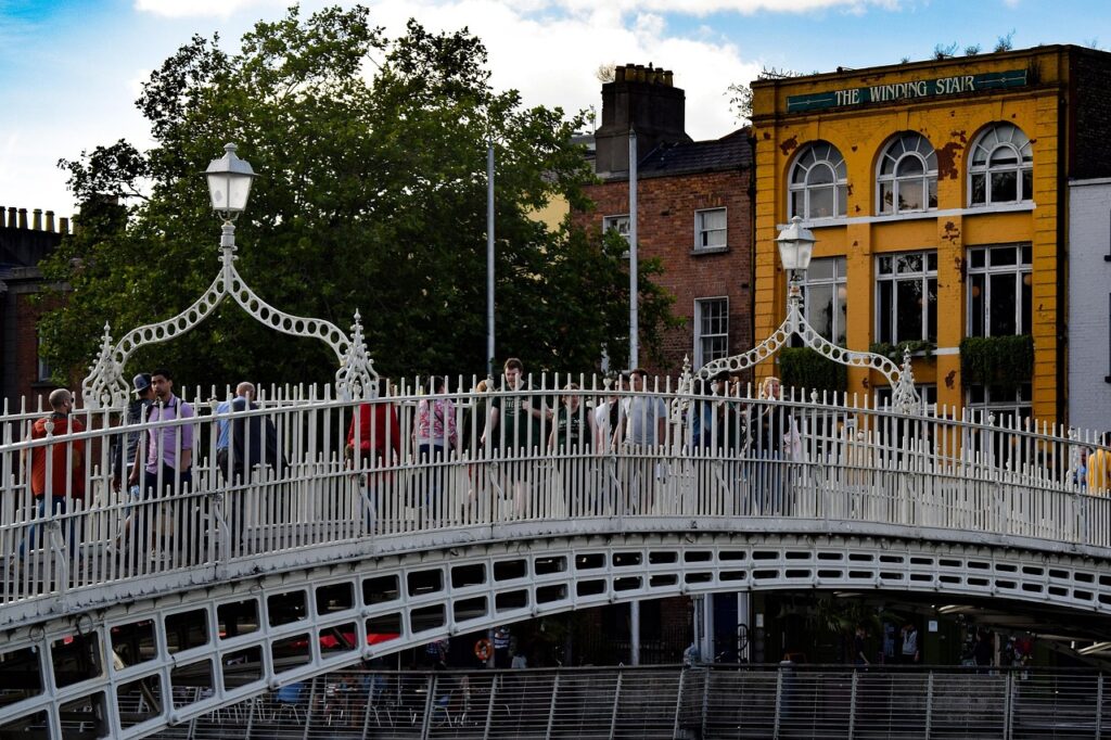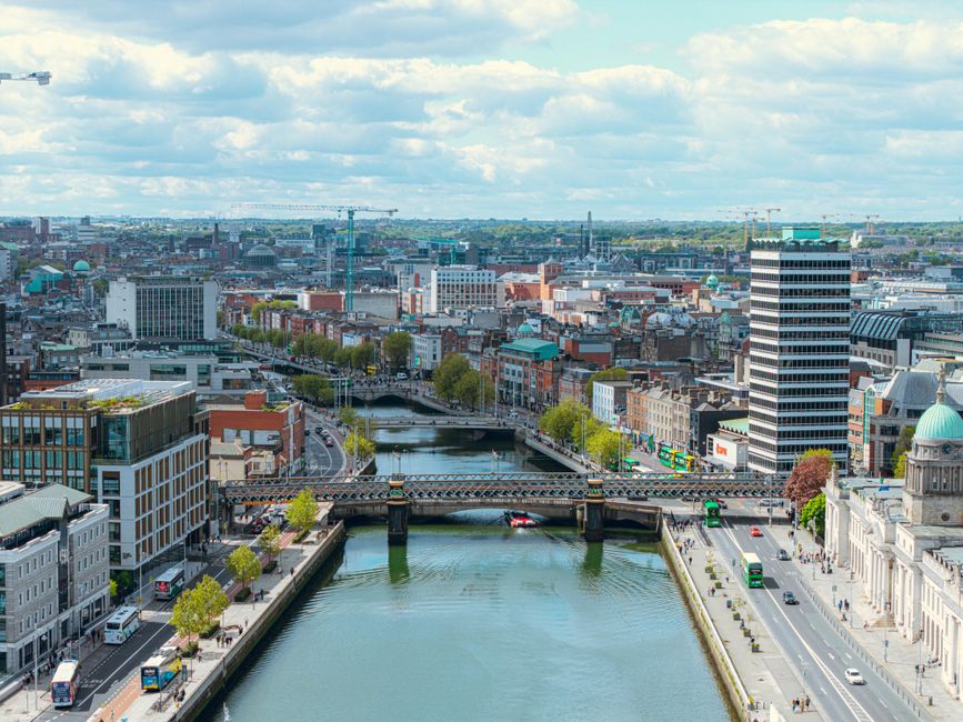






Introduction: Getting Around Dublin — a historic and modern crossroads
Dublin, the capital of the Republic of Ireland, is a city where medieval lanes, Georgian avenues and contemporary developments sit side by side. Its urban mobility mirrors that mix: traditional buses, a recently reintroduced tram system (the Luas), and a rapidly expanding cycling network. Knowing how these systems developed, how they work today and how to use them efficiently is essential whether you live here, are on a business trip or are visiting as a curious tourist.
In this guide we’ll walk through the history and practical workings of Dublin’s buses (Dublin Bus and private operators), the Luas light rail — its lines, fares and timetables — and the cycling network, including DublinBikes, protected lanes and recommended routes. Each section includes precise locations (stations, depots and information points), sample fares and typical schedules, plus hands-on tips so you can plan journeys with confidence.
Dublin isn’t huge in area, but its neighborhoods have very distinct characters: the shopping thoroughfare around O’Connell Street, the quays along the River Liffey, the quiet Georgian streets of Merrion Square, and the dense suburbs served by bus. That means the travel experience changes depending on where you are — a red double-decker headed to Howth gives a very different panoramic view than a quiet tram sliding toward Tallaght. Your transport choices will also depend on budget, speed and comfort preferences.
This guide blends history and practical advice: you’ll find background on how the network evolved, detailed descriptions of main hubs (for example Busáras — Central Bus Station, Store Street, Dublin 1 — and rail stations like Dublin Connolly, Amiens St, or Heuston Station, Conyngham Road, Dublin 8), tips for using the Leap Card (the city’s smart travel card) and options for urban cyclists and long‑distance travelers. The included addresses, typical timetables and indicative fares will help you plan. Finally, local tips will help you avoid common pitfalls — for example, how to handle rush hour on O’Connell Street, or where to find DublinBikes docks with available bikes during busy times.
History and evolution of transport in Dublin
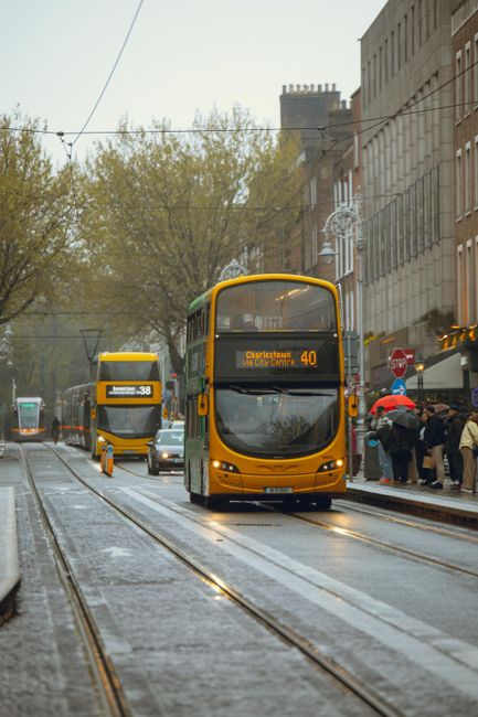
Dublin’s mobility has deep roots. In the 19th century the city relied mainly on horses and carts, followed by horse-drawn trams that were electrified by the end of the century. Dublin’s earliest electric trams helped drive urban expansion. But during the latter half of the 20th century, as in many European capitals, the tram network was gradually dismantled in favor of road transport and buses. That shift left Dublin depending largely on buses and rail to serve the metropolitan area.
The tram’s comeback is a notable chapter of recent history: the Luas (Irish for “speed”) opened in 2004 in response to rising congestion and the need for high-capacity urban transit. The system started with a single line and later expanded into two main axes — the Green Line and the Red Line — which intersect in the city centre around Abbey Street / O’Connell Street. Modernisation went hand in hand with investment in cycling infrastructure and better coordination with the national rail operator (Iarnród Éireann) and regional bus services.
Operators have changed too: Dublin Bus, formed in 1987 from older public structures, remains the dominant operator for urban and suburban services. Over the years private contractors like Go-Ahead Ireland have added services on certain routes, increasing overall options. Historic hubs adapted: Busáras (Store Street, Dublin 1, D01 R2P0) stayed a key interchange for coach and many urban lines, while Dublin Connolly Station (Amiens Street, Dublin 1, D01 T6F4) and Heuston Station (Conyngham Road, Dublin 8, D08 W2X8) improved their links with trams and buses.
At the same time, political and urban planning shifts favoured active travel: sustainable mobility plans, low-emission zones and the rollout of protected cycle lanes (notably along the Grand Canal and parts of the Liffey) have changed how people move around. Bike-share programs such as DublinBikes, run by the city in partnership with private operators, have popularised cycling for short journeys.
For travellers, these changes mean an effective multimodal offer: it’s common to combine bus + Luas, or bike + train to save time and money. Understanding this history explains today’s options and helps you anticipate future projects — further Luas extensions, new cycle lanes and integrated pricing that will make getting around even easier.
Dublin’s bus network: operators, hubs, fares and schedules
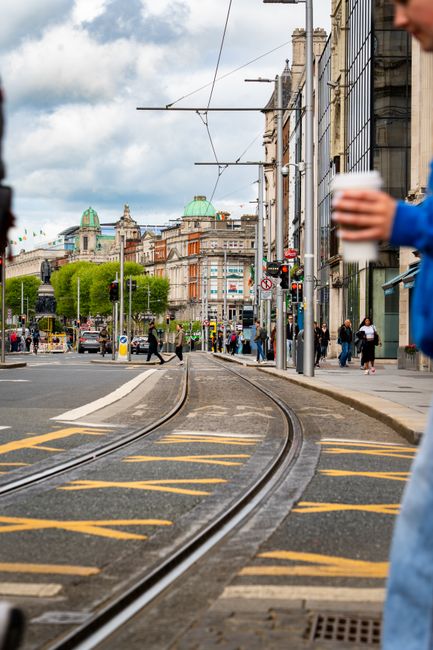
Buses remain the backbone of Dublin’s mobility. Dublin Bus is the major public operator with hundreds of routes serving the city centre and suburbs; Go-Ahead Ireland, a private operator, runs several suburban routes and some express services. Long-distance and intercity services are handled by Bus Éireann and private carriers from Busáras and other terminals.
Main hubs:
- Busáras (Central Bus Station) — Store Street, Dublin 1, D01 R2P0. The departure point for national services and many urban routes. Ticket office hours: generally 06:00–21:00 (check seasonally).
- Dublin Airport Bus Services — Stops at Dublin Airport (Dublin Airport, Collinstown, Fingal, Co. Dublin, D15 T7CK). The Airlink 747 and 748 connect the airport with the city. Airlink 747: around €7.00 (single cash adult), with reduced fares when using a Leap Card or buying online (prices vary).
- Heuston Station — Conyngham Road, Dublin 8, D08 W2X8. Bus + rail connections toward the west and south.
- Dublin Connolly Station — Amiens Street, Dublin 1, D01 T6F4. A hub for trains to the north and suburbs, close to several bus stops and the Luas Red Line via Abbey Street.
Fares and tickets:
Fares are much simpler thanks to the Leap Card, a reloadable smart card accepted on Dublin Bus, Luas and most local trains. Benefits include reduced fares (roughly 20–30% cheaper than paying cash) and daily/weekly capping for frequent travel. Indicative fares (approximate 2024 values — always check official updates):
- Dublin Bus: standard cash fare for a single urban trip ≈ €3.20; with Leap Card ≈ €1.70–€2.00 depending on distance and time (distance or zone-based pricing).
- Airlink 747 (Airport): single ticket ≈ €7.00 (cash/online), return ≈ €12.00; reduced prices with Leap Card or online bookings.
- Intercity bus (Bus Éireann): fares vary — e.g. Dublin–Galway ≈ €20–€30 depending on time and advance booking.
Timetables and frequency:
- Most urban routes run from about 05:00 to 00:30; some late-night Nitelink services operate after midnight on Fridays and Saturdays.
- During peak hours (07:00–09:30 and 16:00–18:30), central corridors have high frequencies (every 5–10 minutes on major routes like O’Connell Street, Dorset Street or Stillorgan).
- Suburban services can be less frequent early in the morning and late in the evening (every 20–30 minutes).
Practical tips:
- Board through the front door and tap your Leap Card on the yellow reader; if paying cash, have exact change — drivers don’t always have change.
- Look out for express routes during peak times (e.g. 16X, 46A) to save time when travelling to outer suburbs.
- Use the official Transport for Ireland (TFI) app or the Dublin Bus / Go-Ahead apps to see real-time routes and timetables: tourist information centres are located around 59/60 O’Connell Street for central queries.
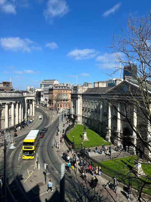
The Luas: layout, lines, stops, fares and how it works
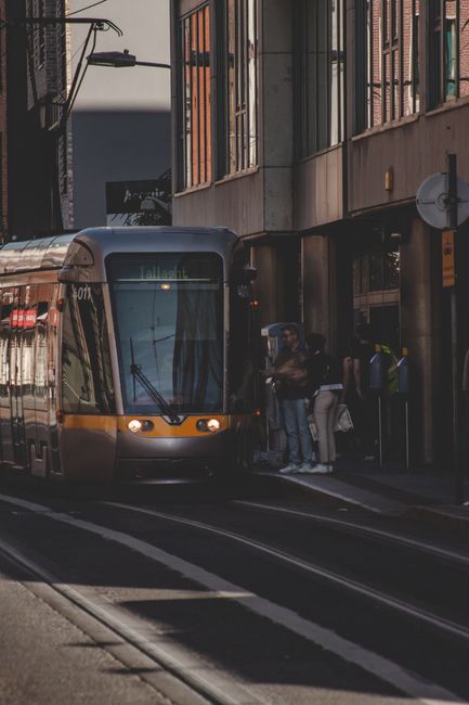
The Luas is the light rail system that reshaped central Dublin travel. It has two main axes: the Red Line and the Green Line. They intersect in the city centre (around Abbey Street / O’Connell Street), offering excellent connections to buses and rail stations.
Main features:
- Green Line: serves Brides Glen (Dún Laoghaire–Rathdown) at the southeast end, passes St. Stephen’s Green (near Grafton Street / Dawson Street), and continues toward Sandyford, Dundrum and branches serving Tallaght/Saggart. Key stops: St. Stephen’s Green (Station Road, Dublin 2, D02), Ranelagh, Dundrum Town Centre (Sweetmount, Dublin 14, D14), Tallaght (Main Street, Dublin 24, D24).
- Red Line: links The Point (Point Square, Dublin 1, D01) and Connolly/Heuston while crossing central areas; check the current network map for exact branch details and connections to Tallaght/Saggart.
- Central stops: Abbey Street (O’Connell Street), St. Stephen’s Green (around a 10–15 minute walk to Trinity College), Heuston Luas stop (near Heuston Station) and Connolly stop (near Dublin Connolly Station).
Fares:
Luas also accepts the Leap Card. Typical fares:
- Standard single adult ticket (if paying without a Leap Card) ≈ €2.10–€2.50 depending on distance.
- With Leap Card / pay-as-you-go: reduced fares and the possibility of daily capping (for example, a daily cap of around €7–€9 for unlimited Luas + bus use; indicative values).
- 24-hour or 3-day passes: tourist packages are available from local vendors; prices vary depending on the combination (bus + Luas).
Hours and frequency:
- Luas typically runs from about 05:30 to 00:30 on weekdays; central frequencies are 5–8 minutes during the day, and 10–15 minutes early morning or late evening.
- Last tram times can vary by stop and day; check schedules for Heuston and Connolly during busy events (for example at the Aviva Stadium).
Practical use:
- Tap on when boarding and tap off when you leave — place your Leap Card on the yellow/green validator each trip.
- Luas platforms are well signposted; allow passengers to alight before boarding to keep flows smooth.
- If you’re travelling with luggage (to stations or the airport), use stops that connect directly to Connolly or Heuston for easier transfers.
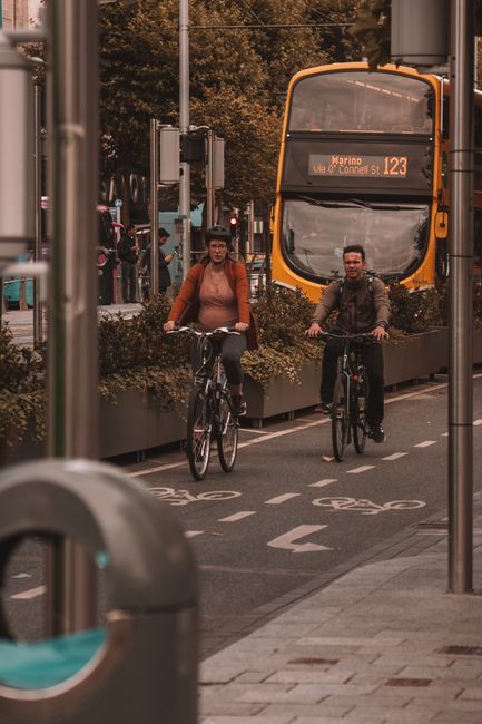
Cycling network: DublinBikes, protected lanes, safety and recommended routes
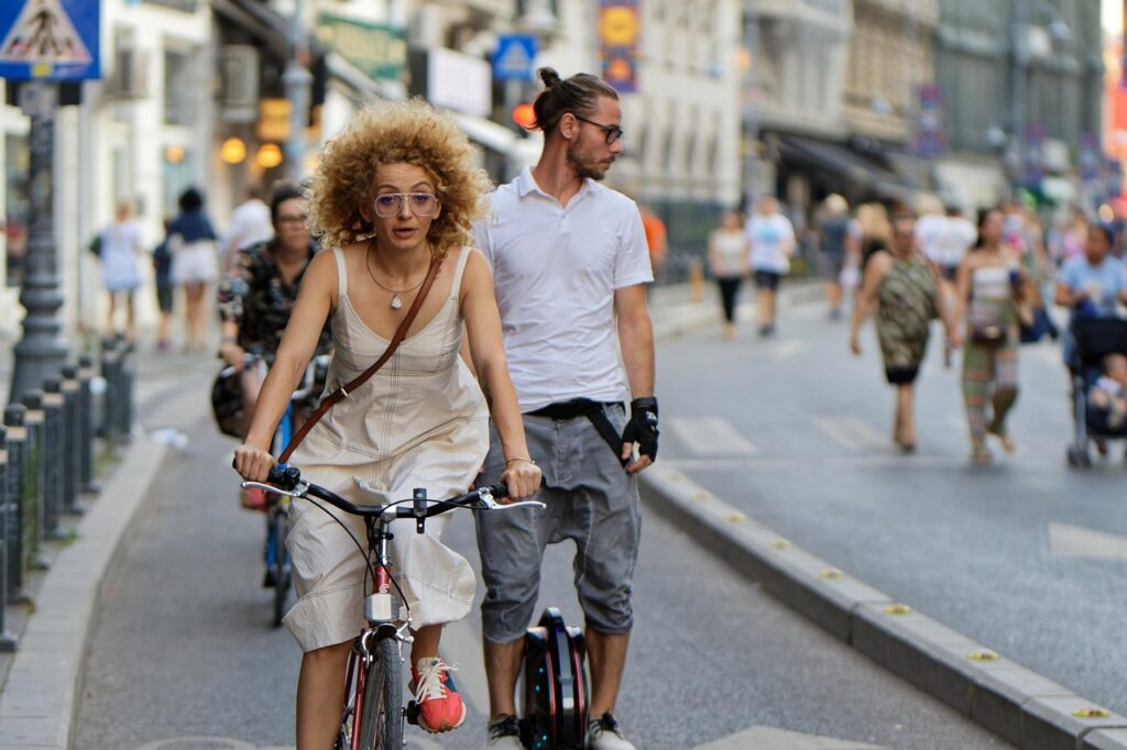
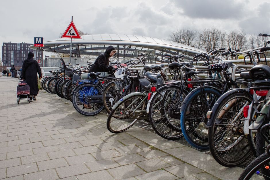
Cycling has become a very practical option in Dublin, especially for short and medium trips (2–8 km). The city has invested in protected lanes, painted cycle lanes and routes along the Grand Canal and the River Liffey. The public bike-share system, known as DublinBikes (operated through public-private partnerships), offers docks across the city centre and neighbouring areas.
Key points and locations:
- DublinBikes station — O’Connell Street: O’Connell Street Lower, Dublin 1, D01. One of the busiest central docks, close to Busáras and Trinity College.
- DublinBikes station — Grand Canal Dock: Barrow Street, Dublin 4, D04. Ideal for reaching the Docklands offices and canal-side restaurants.
- DublinBikes station — Heuston Station: Heuston Station, Conyngham Road, Dublin 8, D08. Handy for combining train + bike trips to the north side.
Fares (indicative):
- Annual DublinBikes membership ≈ €20–€35 (subsidised resident rates); monthly ≈ €10–€15; pay-as-you-go short-use rate ≈ €1.50–€2.00 for the first 30 minutes, then extra charges per additional 30 minutes. These figures are indicative — check the official site for current pricing and tourist offers.
Network and safety:
Protected lanes are mostly found along:
- The Grand Canal (route between Grand Canal Dock and Portobello) — flat, scenic and great for beginners.
- The Liffey quays (progressive upgrades with dedicated cycle lanes between Ha’penny Bridge and Custom House Quay).
- North Strand and Clontarf Promenade (toward Howth) — lovely coastal links but can be windy at times.
Practical tips:
- Wearing a helmet is strongly recommended; in the city, also wear reflective clothing in winter when daylight is limited.
- Avoid peak times on main corridors (08:00–09:30 and 17:00–18:30) if you’re new to city cycling; quieter windows are 09:30–12:00 or 14:00–16:00.
- If you’re using DublinBikes, plan to return the bike to a docking station near your destination: many users exceed 30 minutes and incur extra charges.
- For sightseeing journeys, combine bike + Luas: for example, dock near St. Stephen’s Green and take the Luas to the Docklands.
Recommended cycling routes (examples)
- City centre → Grand Canal Dock (8 km): start at O’Connell Street, head down South Great George’s Street, through Ranelagh, finishing at Barrow Street. Estimated time: 25–35 minutes depending on traffic.
- Heuston Station → Phoenix Park (3 km): follow the Liffey, cross Wolfe Tone Place Bridge and enter the south gate of Phoenix Park. Great for a relaxed ride or to reach Dublin Zoo.
- Howth Cliff Loop (combine central Dublin with a DART + bike docking): take the train to Howth then cycle the coastal loop for spectacular views; allow a half-day for this outing.
Conclusion: pick the right mode, mix and optimise your travel
Getting around Dublin today means choosing from a mix of complementary options: a dense, flexible bus network; a modern tram (the Luas) cutting through the city centre; and a growing cycling network supported by DublinBikes and protected infrastructure. The history of transport in Dublin explains this variety: the removal of trams in the 20th century made way for buses, while the Luas’s 21st-century return and pro-cycling policies have steered the city toward more sustainable, multimodal mobility.
To make the best choices day-to-day or on a visit, remember a few simple rules: get a Leap Card to save money and smooth transfers between bus, Luas and some train services; use major hubs (Busáras, Dublin Connolly, Heuston Station) for easy connections; prefer the bike for short trips on protected corridors (Grand Canal, Liffey quays); and check real-time timetables during peak times with official apps (TFI, Dublin Bus, Luas).
Fares and schedules change with policy updates and infrastructure extensions, so consult official sites before you travel: Transport for Ireland (www.transportforireland.ie), Dublin Bus (www.dublinbus.ie) and Luas (www.luas.ie), plus the DublinBikes/operator site for memberships. And don’t hesitate to ask locals — Dubliners are generally friendly and happy to share tips on the best cycle routes or fastest bus lines to reach a neighbourhood.
By combining modes and following a few local habits (Leap Card, queuing etiquette for the Luas, cycling awareness), you’ll make the most of Dublin’s urban riches: its museums, parks, quays and historic lanes. Safe travels and enjoy exploring Dublin — on foot, by tram, bus or bike.